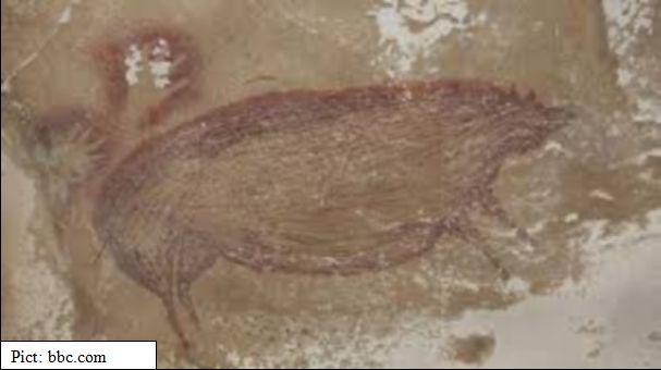
What and where is Nusantara and who are its people?
Sourced from: https://www.researchgate.net/publication/309090452_Nusantara_Delineating_Its_Authentic_Map_Based_on_Indigenous_Sources
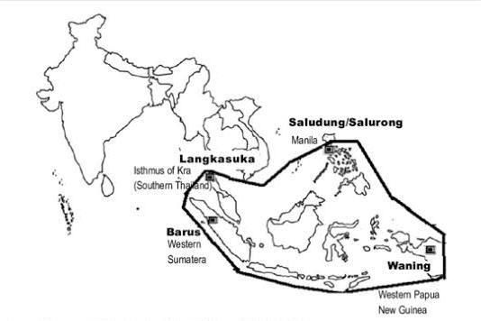
To date, there is yet a map of Nusantara and the understanding of its geographical area is based on logical assumption that it is a combination of ‘nusa’ (nation) and ‘tara’ (between) which is not so. This paper is an effort to subdue its absence by delineating its the map in a diagrammatic presentation based on indigenous sources which directly related to it, Nāgara-Kěrtāgama (the 14th century Javanese Majapahit court chronicle) and supported by other indigenous sources, namely, Pararaton (14century) and the Malay Annals (Sejarah Melayu) (17th century). Based on these indigenous sources, affirm that Nusantara is an indigenous geopolitical region which covers a vast area of southeastern part of present Asian region with its northern tip starts from the Isthmus of Kra (southern Thailand) and stretches down to its southern tip at Western Papua New Guinea; and its western tip starts from west Sumatera (Barus) and stretches eastward to its eastern tip at Manila (Saludung/Salurong).